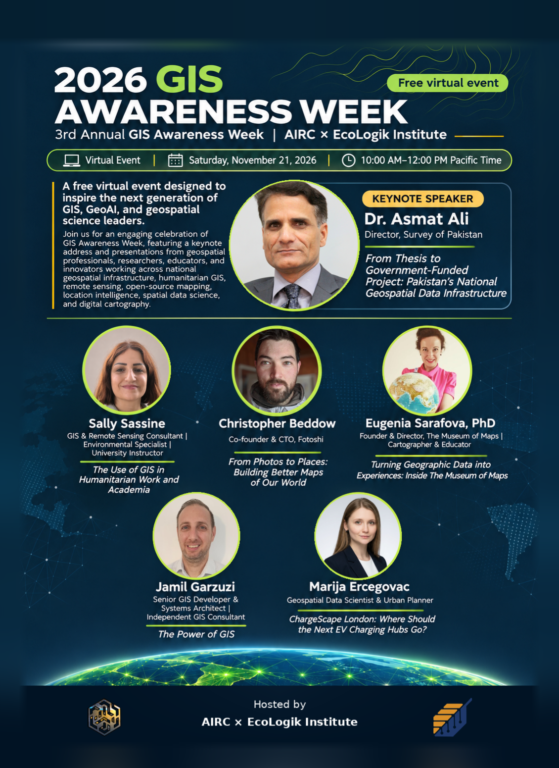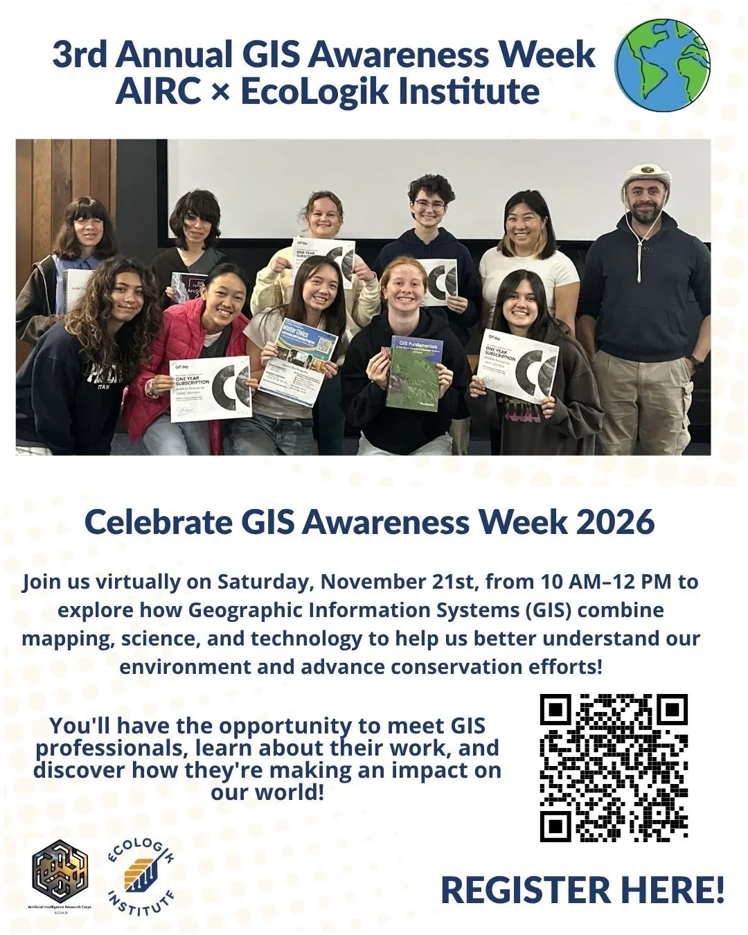
Date: Saturday, November 21st
Time: 10:00 AM - 12:00 PM Pacific
Description:
Every year, on the third Wednesday of November, people around the world celebrate Geographic Information Systems (GIS) Day! This year, GIS Day falls on Wednesday, November 18, 2026.
This year's theme, "GIS: Powering Purpose and Innovation," highlights how geospatial technology, mapping, and data can drive real-world change, promote sustainability, and help us solve some of today's biggest challenges.
In collaboration with Mohamad Yassin, we're excited to bring this learning opportunity to the San Diego community, providing participants with an opportunity to connect with scientists, explore real-world applications of GIS, and discover how mapping technology can help us better understand our local environment.
To celebrate, join the EcoLogik Institute and Mohamad for an exciting virtual presentation exploring the power of GIS! Discover how Geographic Information Systems bring science and technology together to investigate local ecosystems, visualize environmental data, and support conservation efforts.
Fee: FREE!
Location: Virtually
Meeting ID: 871 4245 5797
Passcode: 809044
Meet the GIS professionals who will be joining us this Saturday, November 21st!
Dr. Asmat Ali
Director, Survey of Pakistan
Presentation Title: From Thesis to Government-Funded Project: Pakistan’s National Geospatial Data Infrastructure
Presentation Summary: Discover how a research thesis evolved into a nationally funded geospatial infrastructure initiative in Pakistan. Dr. Ali will trace the development of Pakistan’s National Spatial Data Infrastructure (Pak-NSDI), highlighting the role of geospatial data in government digital transformation, institutional collaboration, and public service delivery.
The presentation explores how interoperable and responsible geospatial data sharing can empower public institutions, support informed decision-making, and deliver valuable services to citizens.
Bio: Dr. Asmat Ali is a Director at the Survey of Pakistan and a pioneer of Pakistan’s National Spatial Data Infrastructure (Pak-NSDI). He holds a PhD in Remote Sensing and GIS and brings 38 years of experience in geospatial data production, management, digital cartography, and GIS. He has authored numerous research publications and serves as a reviewer for ISPRS International Journal of Geo-Information and other international scientific journals.
Sally Sassine
GIS & Remote Sensing Consultant | Environmental Specialist | University Instructor
Presentation Title: The Use of GIS in Humanitarian Work and Academia
Presentation Summary: Explore how GIS and remote sensing support humanitarian initiatives, environmental assessments, and academic research. Sally will highlight the role of geospatial technologies in transforming complex information into meaningful maps and insights that support informed decisions, address real-world challenges, and serve communities.
Bio: Sally Sassine is a GIS and remote sensing consultant, environmental specialist, and university instructor. She applies geospatial technologies to humanitarian work, environmental assessment, and education, transforming complex data into maps that support informed decisions. Her work connects practical applications with academic learning, helping professionals and students use GIS to address real-world challenges and serve communities.
Presentation Format: Prerecorded session.
Jamil Garzuzi
Senior GIS Developer & Systems Architect | Independent GIS Consultant
Presentation Title: The Power of GIS
Presentation Summary: What can a map reveal that a table of data cannot? This introductory session demonstrates how GIS transforms geographic information into insights that support better decisions.
Through an interactive demonstration, participants will visualize population data, explore street conditions in downtown Seattle, and discover how street networks influence what destinations are reachable within a six-minute walk.
Bio: Jamil Garzuzi is a GIS developer and systems architect with more than 15 years of experience building mapping applications and geospatial systems. He holds a master’s degree in Geography and began his career at the Bureau of Statistics, where he helped develop GIS infrastructure for the census. His professional experience spans navigation data, land administration, urban planning, and environmental analysis.
Christopher Beddow
Co-founder & CTO, Fotoshi
Presentation Title: From Photos to Places: Building Better Maps of Our World
Presentation Summary: Discover how photography has shaped modern mapping, from early aerial images captured by balloons and airplanes to satellite imagery, street-level photography, and advanced 3D reality capture.
This session explores how observing and measuring the physical world forms the foundation of modern maps. Christopher will also introduce career opportunities for students interested in geographic data collection, remote sensing, image analysis, computer vision, and the technologies behind digital mapping.
Bio: Christopher Beddow is the co-founder and CTO of Fotoshi, a platform connecting georeferenced photography with digital maps. He holds a master’s degree in Geographic Information Systems and has worked in remote sensing and mapping through NASA DEVELOP, Mapillary, and Meta. His experience spans satellite imagery, crowdsourced geographic data, computer vision, and the development of mapping technologies used around the world.
Eugenia Sarafova, PhD
Founder & Director, The Museum of Maps | Cartographer & Educator
Presentation Title: Turning Geographic Data into Experiences: Inside The Museum of Maps
Presentation Summary: How can maps become interactive experiences that encourage people to explore, question, and understand the world differently?
Eugenia takes participants inside The Museum of Maps, an independent digital platform where interactive mapping, historic cartography, satellite imagery, and geographic data come together.
Through interactive maps, virtual globes, and digital storytelling, this session demonstrates how cartographic design and accessible technologies can transform complex geographic information into engaging educational experiences. It also explores how modern web mapping connects the cultural history and artistic beauty of maps with dynamic geographic data.
Bio: Eugenia Sarafova, PhD, is a cartographer, scientist, educator, and creative mapping practitioner. She is the Founder and Director of The Museum of Maps, an independent platform combining interactive mapping with digital storytelling. Her work bridges GIS, visual communication, spatial literacy, and public engagement with geographic knowledge. She co-authored the latest edition of Learn QGIS and has taught cartography and geospatial technologies as an Associate Professor for more than a decade.
Marija Ercegovac
Geospatial Data Scientist | Location Intelligence
Presentation Title: ChargeScape London: Where Should the Next EV Charging Hubs Go?
Presentation Summary (Preliminary):
London has more than 31,000 public EV chargers, yet rapid-charging stations can still experience long queues during peak hours. Where should the next charging hubs be located, how large should they be, and how confident can we be in those decisions?
Drawing on her open-source project, ChargeScape London, Marija will demonstrate how geospatial data science can support smarter EV-charging infrastructure planning. The presentation explores demand forecasting using hexagonal spatial grids, uncertainty modeling, charging station queues, and budget-constrained location optimization.
She will also highlight a model that performed well in one city but failed in another, illustrating the importance of spatial validation and model transferability.
Through a reproducible, open-source workflow, students and aspiring professionals will discover how geographic data, statistical modeling, and optimization can help address real-world urban challenges.
Bio:
Marija Ercegovac is a geospatial data scientist and urban planner specializing in location intelligence, transportation analytics, and spatial modeling. She studied urban planning at HSE University and began her career at Strelka KB, contributing to transportation and social analytics for urban master plans.
At Yandex Lavka, she developed warehouse location models across 27 cities, supporting the company's expansion into Kazakhstan and Uzbekistan. Her international experience includes analyzing GPS mobility data across 12 European countries and contributing to a national address database for Cyprus.
In 2026, she presented at the international FOSS4G conference in Hiroshima, Japan. Based in Belgrade, Serbia, her work focuses on applying open data, geospatial analytics, and reproducible methods to complex urban and infrastructure challenges.